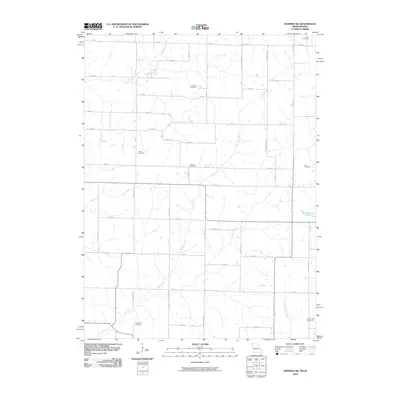
2010 Map of Hopkins SW
USGS Topo · Published 2010About this map
The agricultural landscape of northwest Missouri and southwest Iowa is defined by a grid of rural roads and numerous family and community burial grounds. This 2010 survey shows the headwaters of Clear Creek and its many tributaries, including South Fork Clear Creek and Buchanan Creek, as they meander through the farmland. For genealogists and local historians, the map is an invaluable record of seven distinct cemeteries, including Siam Cemetery in the north and Morehouse Cemetery in the southeast corner. The presence of several smaller burial sites such as Shearer Cemetery, Burch Cemetery, Johnson Cemetery, and Cox Cemetery suggests a history of long-established family homesteads. The terrain is relatively flat, with the only notable body of standing water being Blackford Lake near the eastern boundary, as the drainage network of Wolf Creek and Sink Creek carries water toward the Missouri River basin.
Find a feature on this map
47 named features on this map. Tap any name to fly to it.
Don’t see what you’re looking for? This feature index may not catch every label — zoom into the map to look around manually.
Map Details
Editions of this 2010 Hopkins SW Map
This is the sole edition of this map. No revisions or reprints were ever made.
Other maps of this area

1939 · Skidmore
USGS Topo · 1:62,500

1940 · Coin
USGS Topo · 1:62,500

1940 · New Market
USGS Topo · 1:62,500

1941 · Skidmore
USGS Topo · 1:62,500

1942 · Skidmore
USGS Topo · 1:62,500

1943 · Coin
USGS Topo · 1:62,500

1943 · Maryville
USGS Topo · 1:62,500

1943 · New Market
USGS Topo · 1:62,500

1955 · Nebraska City
USGS Topo · 1:250,000

1957 · Nebraska City
USGS Topo · 1:250,000