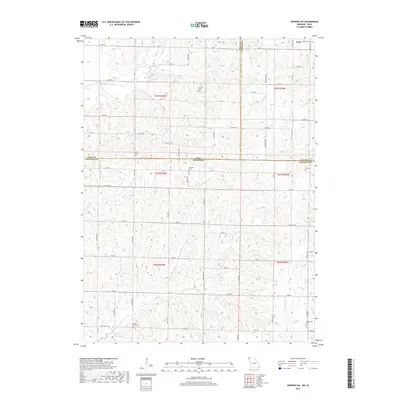
2017 Map of Hopkins SW
USGS Topo · Published 2017About this map
The borderlands between Iowa and Missouri are defined by a network of rural townships and family burial grounds in this detailed topographical study. The tiny settlement of Siam anchors the northern edge of the map, located just south of the Siam Cem near the intersection of the Page Co and Taylor Co lines. This landscape is shaped by the drainage patterns of several tributaries, including Buchanan Cr, Clear Cr, and Wolf Cr, which carve through the undulating terrain. Genealogists will find a high density of rural cemeteries scattered across the sections, such as Hazel Dell Cem and Morehouse Cem in Missouri, and the Shearer Cem and Burch Cem in Iowa. These sites, along with landmarks like Blackford Lake, provide a clear record of local settlement patterns and family heritage in the region.
Find a feature on this map
47 named features on this map. Tap any name to fly to it.
Don’t see what you’re looking for? This feature index may not catch every label — zoom into the map to look around manually.
Map Details
Editions of this 2017 Hopkins SW Map
This is the sole edition of this map. No revisions or reprints were ever made.
Other maps of this area

1939 · Skidmore
USGS Topo · 1:62,500

1940 · Coin
USGS Topo · 1:62,500

1940 · New Market
USGS Topo · 1:62,500

1941 · Skidmore
USGS Topo · 1:62,500

1942 · Skidmore
USGS Topo · 1:62,500

1943 · Coin
USGS Topo · 1:62,500

1943 · Maryville
USGS Topo · 1:62,500

1943 · New Market
USGS Topo · 1:62,500

1955 · Nebraska City
USGS Topo · 1:250,000

1957 · Nebraska City
USGS Topo · 1:250,000