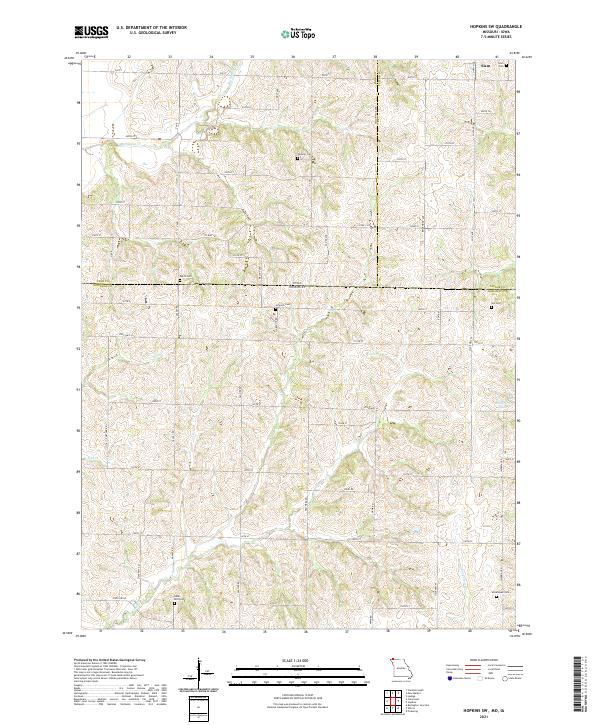
2021 Map of Hopkins SW
USGS Topo · Published 2021About this map
Iowa and Missouri meet along this section of the border, where the rural landscapes of Page County and Taylor County, Iowa, transition into Nodaway County, Missouri. The small settlement of Siam anchors the northern edge of the map, surrounded by a dense network of country roads like County Highway J55 and State Highway JJ. The drainage patterns are defined by several waterways, including Buchanan Creek, Wolf Creek, and the winding South Fork of Clear Creek.
Find a feature on this map
43 named features on this map. Tap any name to fly to it.
Don’t see what you’re looking for? This feature index may not catch every label — zoom into the map to look around manually.
Map Details
Editions of this 2021 Hopkins SW Map
This is the sole edition of this map. No revisions or reprints were ever made.
Other maps of this area

1939 · Skidmore
USGS Topo · 1:62,500

1940 · Coin
USGS Topo · 1:62,500

1940 · New Market
USGS Topo · 1:62,500

1941 · Skidmore
USGS Topo · 1:62,500

1942 · Skidmore
USGS Topo · 1:62,500

1943 · Coin
USGS Topo · 1:62,500

1943 · Maryville
USGS Topo · 1:62,500

1943 · New Market
USGS Topo · 1:62,500

1955 · Nebraska City
USGS Topo · 1:250,000

1957 · Nebraska City
USGS Topo · 1:250,000