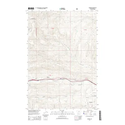
2014 Map of Hoppers
USGS Topo · Published 2014About this map
Gallatin National Forest dominates the northern reaches of this landscape, where the rugged topography is carved by drainages like Fleshman Cr and Jackson Cr. The settlement patterns follow the corridor of the interstate and frontage roads, where the small community of Hoppers and the residential area of Wineglass sit along the valley floor. This 2014 survey reveals a transition from the mountainous timberlands of the north to the more developed southern basins. Local history is anchored by sites such as the Cokedale Cem and infrastructure like Tunnel Number 1, reflecting the region's intersection of natural resources and transportation. The network of forest trails and local roads, including Eldridge Creek Trl and the Cokedale Spur, illustrates how the terrain has been navigated for both industry and access to the highland passes such as Rock Top Pass.
Find a feature on this map
41 named features on this map. Tap any name to fly to it.
Don’t see what you’re looking for? This feature index may not catch every label — zoom into the map to look around manually.
Map Details
Editions of this 2014 Hoppers Map
This is the sole edition of this map. No revisions or reprints were ever made.
Other maps of this area

1891 · Livingston
USGS Topo · 1:250,000

1893 · Livingston
USGS Topo · 1:250,000

1947 · Bozeman
USGS Topo · 1:250,000

1948 · Bozeman
USGS Topo · 1:250,000

1951 · Bozeman Pass
USGS Topo · 1:62,500

1951 · Gobblers Knob
USGS Topo · 1:24,000

1951 · Chadborn
USGS Topo · 1:24,000

1951 · Brisbin
USGS Topo · 1:24,000

1951 · Hoppers
USGS Topo · 1:24,000

1951 · Chimney Rock
USGS Topo · 1:24,000