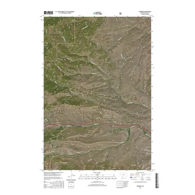
2017 Map of Hoppers
USGS Topo · Published 2017About this map
Hoppers and the historic coal mining area of Cokedale are central features of this Montana landscape, situated at the edge of the Gallatin National Forest. The map documents a critical transportation corridor through the mountains, where Bozeman Hill Road and the railroad navigate the terrain near Tunnel Number 1. This 2017 survey details the complex topography of the region, where numerous drainages like Fleshman Creek, Billman Creek, and Miner Creek carve through the high country. For the local historian or genealogist, the presence of a Cemetery near Cokedale offers a point of interest regarding the community's early settlement. The map also traces modern developments alongside older landmarks, showing the proximity of the Antelope Flats and Bozeman Hill, illustrating how modern transit routes like Cokedale Road follow the natural contours of the mountain passes.
Find a feature on this map
39 named features on this map. Tap any name to fly to it.
Don’t see what you’re looking for? This feature index may not catch every label — zoom into the map to look around manually.
Map Details
Editions of this 2017 Hoppers Map
This is the sole edition of this map. No revisions or reprints were ever made.
Other maps of this area

1891 · Livingston
USGS Topo · 1:250,000

1893 · Livingston
USGS Topo · 1:250,000

1947 · Bozeman
USGS Topo · 1:250,000

1948 · Bozeman
USGS Topo · 1:250,000

1951 · Bozeman Pass
USGS Topo · 1:62,500

1951 · Gobblers Knob
USGS Topo · 1:24,000

1951 · Chadborn
USGS Topo · 1:24,000

1951 · Brisbin
USGS Topo · 1:24,000

1951 · Hoppers
USGS Topo · 1:24,000

1951 · Chimney Rock
USGS Topo · 1:24,000