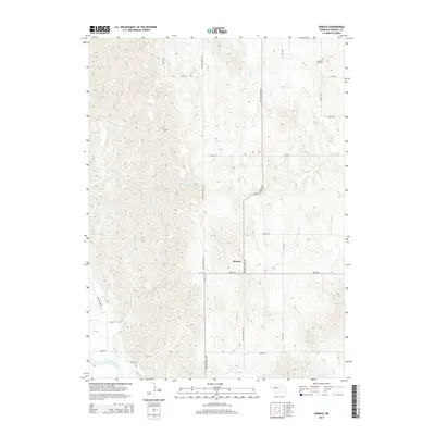
2014 Map of Horace
USGS Topo · Published 2014About this map
Horace sits at the center of this rural Greeley County landscape, situated where the high plains terrain is carved by the drainages of Wallace Cr and Shephard Cr. The drainage patterns in this portion of Nebraska are well-defined, showing a network of creeks that eventually feed toward the North Loup River in the southwestern corner of the quadrangle. The map captures a grid of section roads, including Ericson Scotia Ave and Wallace Creek Ave, that connect the isolated homesteads and agricultural tracts of the region.
Find a feature on this map
20 named features on this map. Tap any name to fly to it.
Don’t see what you’re looking for? This feature index may not catch every label — zoom into the map to look around manually.
Map Details
Editions of this 2014 Horace Map
This is the sole edition of this map. No revisions or reprints were ever made.
Other maps of this area

1899 · Loup
USGS Topo · 1:125,000

1953 · North Loup
USGS Topo · 1:24,000

1953 · Scotia NE
USGS Topo · 1:24,000

1953 · Scotia
USGS Topo · 1:24,000

1954 · Ord SE
USGS Topo · 1:24,000

1954 · Ord NE
USGS Topo · 1:24,000

1954 · Horace
USGS Topo · 1:24,000

1954 · Greeley NE
USGS Topo · 1:24,000

1954 · Greeley
USGS Topo · 1:24,000

1954 · Greeley NW
USGS Topo · 1:24,000