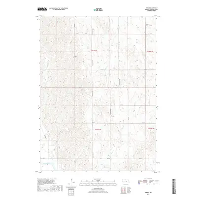
2017 Map of Horace
USGS Topo · Published 2017About this map
Horace serves as the central focal point of this Greeley County survey, situated within a landscape defined by the drainage systems of the North Loup River valley. The terrain is deeply etched by numerous waterways, including Wallace Cr, Fish Cr, and Shephard Cr, which flow through the dissected uplands of the Sandhills transition. For genealogists and local historians, the map provides precise locations for the Pleasant Hill Cem and Shelton Cem, markers of early settlement patterns in this rural township. The section-line road network, featuring thoroughfares such as Ericson-Scotia Ave and Springdale Rd, reveals the enduring structure of Nebraska's agricultural land divisions into the 21st century.
Find a feature on this map
21 named features on this map. Tap any name to fly to it.
Don’t see what you’re looking for? This feature index may not catch every label — zoom into the map to look around manually.
Map Details
Editions of this 2017 Horace Map
This is the sole edition of this map. No revisions or reprints were ever made.
Other maps of this area

1899 · Loup
USGS Topo · 1:125,000

1953 · North Loup
USGS Topo · 1:24,000

1953 · Scotia NE
USGS Topo · 1:24,000

1953 · Scotia
USGS Topo · 1:24,000

1954 · Ord SE
USGS Topo · 1:24,000

1954 · Ord NE
USGS Topo · 1:24,000

1954 · Horace
USGS Topo · 1:24,000

1954 · Greeley NE
USGS Topo · 1:24,000

1954 · Greeley
USGS Topo · 1:24,000

1954 · Greeley NW
USGS Topo · 1:24,000