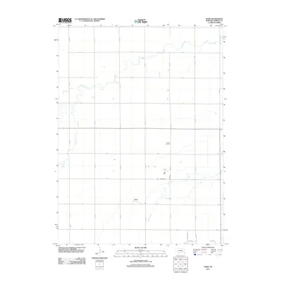
2011 Map of Hord
USGS Topo · Published 2011About this map
Hord occupies a central position within this Merrick County landscape, where the flat agricultural terrain of the Platte River valley is defined by a rigid section-line road grid. The hydrology of the area is dominated by the meandering courses of Prairie Creek and Silver Creek, which break the geometric precision of the surrounding rural infrastructure. This 2011 survey captures the established layout of the region's transportation network, including north-south routes like 14th Rd and 13th Rd that intersect with east-west corridors such as Q Rd and P Rd. Near the center of the quadrangle, Fairview Cemetery stands as a significant local landmark for genealogical research, situated amidst the expansive fields and scattered farmsteads that characterize this portion of Nebraska.
Find a feature on this map
22 named features on this map. Tap any name to fly to it.
Don’t see what you’re looking for? This feature index may not catch every label — zoom into the map to look around manually.
Map Details
Editions of this 2011 Hord Map
This is the sole edition of this map. No revisions or reprints were ever made.
Other maps of this area

1896 · Stromsburg
USGS Topo · 1:125,000

1899 · St. Paul
USGS Topo · 1:125,000

1955 · Belgrade SW
USGS Topo · 1:24,000

1955 · Broken Bow
USGS Topo · 1:250,000

1955 · Belgrade SE
USGS Topo · 1:24,000

1955 · Fremont
USGS Topo · 1:250,000

1956 · Broken Bow
USGS Topo · 1:250,000

1957 · Fremont
USGS Topo · 1:250,000

1958 · Fremont
USGS Topo · 1:250,000

1958 · Fullerton
USGS Topo · 1:24,000