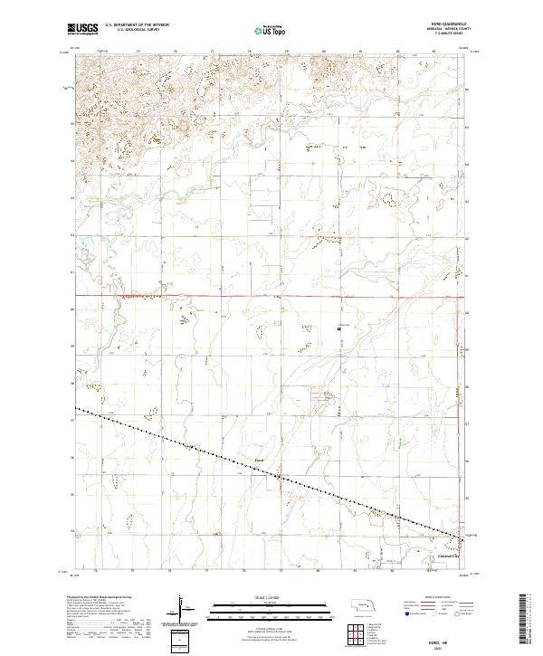
2021 Map of Hord
USGS Topo · Published 2021About this map
The Platte River valley in Merrick County is defined by a landscape of intricate irrigation and drainage networks, where the agricultural grid meets the natural winding paths of Prairie Cr and Silver Cr. Near the southern edge of this survey, the outskirts of Central City mark the transition from rural township sections into the county seat's urban infrastructure. The small settlement of Hord sits centrally along the local road network, serving as a landmark for the surrounding farmsteads. Local history is anchored at the Burke Cem on 14th Road, while the varying terrain of Prairie Slough in the west illustrates the subtle hydrological shifts across the plains. The map reveals a strictly organized section line road system, from W RD in the north down to O RD, illustrating the methodical division of Nebraska's prairie for modern production.
Find a feature on this map
30 named features on this map. Tap any name to fly to it.
Don’t see what you’re looking for? This feature index may not catch every label — zoom into the map to look around manually.
Map Details
Editions of this 2021 Hord Map
This is the sole edition of this map. No revisions or reprints were ever made.
Other maps of this area

1896 · Stromsburg
USGS Topo · 1:125,000

1899 · St. Paul
USGS Topo · 1:125,000

1955 · Belgrade SW
USGS Topo · 1:24,000

1955 · Broken Bow
USGS Topo · 1:250,000

1955 · Belgrade SE
USGS Topo · 1:24,000

1955 · Fremont
USGS Topo · 1:250,000

1956 · Broken Bow
USGS Topo · 1:250,000

1957 · Fremont
USGS Topo · 1:250,000

1958 · Fremont
USGS Topo · 1:250,000

1958 · Fullerton
USGS Topo · 1:24,000