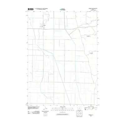
2010 Map of Hornick
USGS Topo · Published 2010About this map
Hornick serves as the central hub of this agricultural landscape in Woodbury County, anchored by the Hornick Post Office and a grid of rural roads. The terrain is defined by an extensive and engineered water management system, where natural watercourses like Whiskey Creek and Weber Creek are integrated with a network of drainage channels. Significant infrastructure projects such as the West Fork Ditch, Garretson Ditch, and Garretson Outlet Ditch demonstrate the large-scale modification of the Missouri River floodplain to support the region's farming economy. To the east, the topography shifts slightly as the land rises into Cottonwood Hollow and Tom King Hollow. These features, along with the Moville Blacktop, illustrate the intersection of early 21st-century rural life and the long-standing geographic challenges of the Iowa bottomlands.
Find a feature on this map
39 named features on this map. Tap any name to fly to it.
Don’t see what you’re looking for? This feature index may not catch every label — zoom into the map to look around manually.
Map Details
Editions of this 2010 Hornick Map
This is the sole edition of this map. No revisions or reprints were ever made.
Other maps of this area

1954 · Fort Dodge
USGS Topo · 1:250,000

1955 · Sioux City
USGS Topo · 1:250,000

1957 · Fort Dodge
USGS Topo · 1:250,000

1958 · Sioux City
USGS Topo · 1:250,000

1958 · Fort Dodge
USGS Topo · 1:250,000

1959 · Sioux City
USGS Topo · 1:250,000

1964 · Climbing Hill
USGS Topo · 1:24,000

1964 · Luton
USGS Topo · 1:24,000

1969 · Castana
USGS Topo · 1:24,000

1969 · Onawa
USGS Topo · 1:24,000