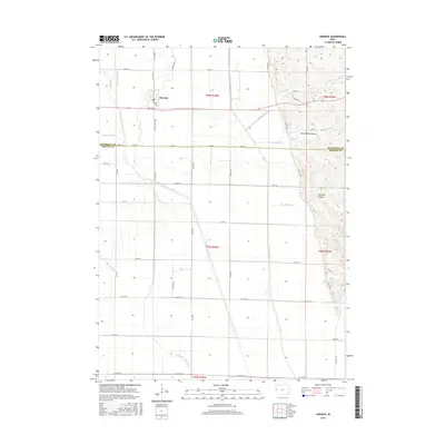
2015 Map of Hornick
USGS Topo · Published 2015About this map
Hornick stands as the primary settlement on this landscape, defined by an extensive network of drainage infrastructure that transformed the Missouri River floodplain into productive farmland. Large-scale water management projects are evident through features like Farmers Garretson Outlet Ditch and the Wolf Creek Drainage Ditch, which dominate the low-lying western portion of the map. This intricate system of man-made channels, including Westfork Ditch and Haitz Ditch, reveals the intensive engineering required to maintain the region's agricultural viability.
Find a feature on this map
87 named features on this map. Tap any name to fly to it.
Don’t see what you’re looking for? This feature index may not catch every label — zoom into the map to look around manually.
Map Details
Editions of this 2015 Hornick Map
This is the sole edition of this map. No revisions or reprints were ever made.
Other maps of this area

1954 · Fort Dodge
USGS Topo · 1:250,000

1955 · Sioux City
USGS Topo · 1:250,000

1957 · Fort Dodge
USGS Topo · 1:250,000

1958 · Sioux City
USGS Topo · 1:250,000

1958 · Fort Dodge
USGS Topo · 1:250,000

1959 · Sioux City
USGS Topo · 1:250,000

1964 · Climbing Hill
USGS Topo · 1:24,000

1964 · Luton
USGS Topo · 1:24,000

1969 · Castana
USGS Topo · 1:24,000

1969 · Onawa
USGS Topo · 1:24,000