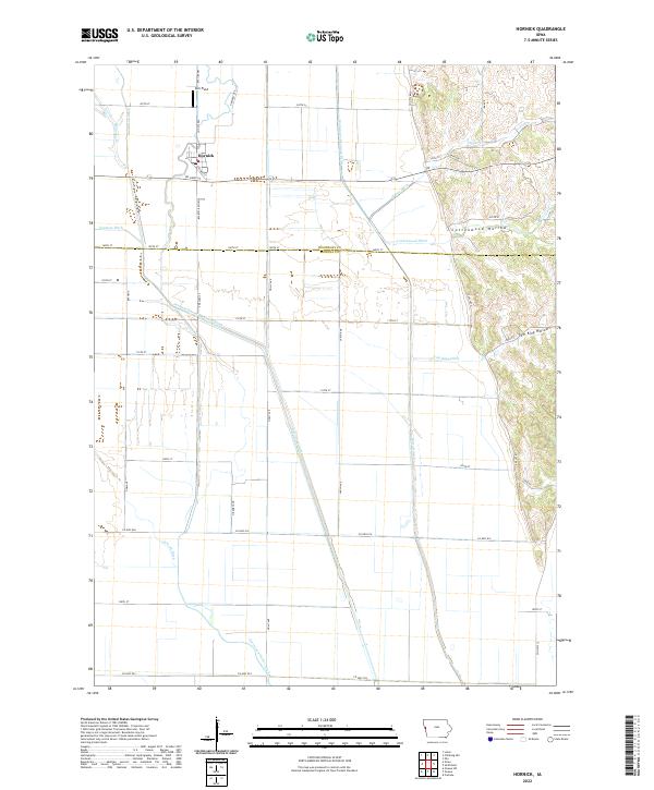
2022 Map of Hornick
USGS Topo · Published 2022About this map
Hornick serves as the primary hub in this corner of the Missouri River floodplain, situated where the Soo Line Railway St once anchored the local agricultural economy. The landscape is a testament to extensive hydrological engineering, defined by a dense network of managed waterways like the Garretson Ditch, West Fork Ditch, and Farmers Ditch. These channels transformed the low-lying terrain of Woodbury and Monona counties into productive farmland, steering water away from the bluffs and toward the river.
Find a feature on this map
37 named features on this map. Tap any name to fly to it.
Don’t see what you’re looking for? This feature index may not catch every label — zoom into the map to look around manually.
Map Details
Editions of this 2022 Hornick Map
This is the sole edition of this map. No revisions or reprints were ever made.
Other maps of this area

1954 · Fort Dodge
USGS Topo · 1:250,000

1955 · Sioux City
USGS Topo · 1:250,000

1957 · Fort Dodge
USGS Topo · 1:250,000

1958 · Sioux City
USGS Topo · 1:250,000

1958 · Fort Dodge
USGS Topo · 1:250,000

1959 · Sioux City
USGS Topo · 1:250,000

1964 · Climbing Hill
USGS Topo · 1:24,000

1964 · Luton
USGS Topo · 1:24,000

1969 · Castana
USGS Topo · 1:24,000

1969 · Onawa
USGS Topo · 1:24,000