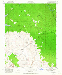
1947 Map of Hornitos
USGS Topo · Published 1964About this map
Hornitos serves as the focal point of this mid-century survey, revealing a landscape defined by its deep mining heritage and the winding path of the Merced River. This area of Mariposa County was heavily shaped by resource extraction, as evidenced by the dense concentration of named workings such as the Mt Gaines Mine and the Red Cloud Mines. The settlement pattern follows the drainages of Burns Creek and Hornitos Creek, with the Quartzburg Sch providing a central landmark for local families. To the north, the waters of Lake McClure begin to fill the canyons, while scattered operations like the Yellowstone Mine and Number Nine Mine punctuate the surrounding hillsides. Large areas of Tailings near the main townsite offer a concrete look at the volume of material processed in these gold-bearing districts during the era.
Find a feature on this map
35 named features on this map. Tap any name to fly to it.
Don’t see what you’re looking for? This feature index may not catch every label — zoom into the map to look around manually.
Map Details
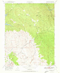
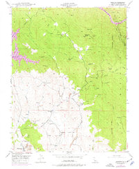
Editions of this 1947 Hornitos Map
3 editions found
Other maps of this area

1893 · Sonora
USGS Topo · 1:125,000

1896 · Sonora
USGS Topo · 1:125,000

1897 · Sonora
USGS Topo · 1:125,000

1898 · Sonora
USGS Topo · 1:125,000

1916 · Merced Falls
USGS Topo · 1:24,000

1919 · Indian Gulch
USGS Topo · 1:48,000

1919 · Haystack Mountain
USGS Topo · 1:31,680

1919 · Merced Falls
USGS Topo · 1:31,680

1920 · Indian Gulch
USGS Topo · 1:62,500

1944 · Merced Falls
USGS Topo · 1:62,500