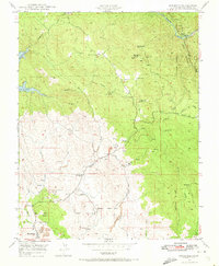
1947 Map of Hornitos
USGS Topo · Published 1973About this map
Hornitos serves as the focal point of this post-war landscape, situated amidst the complex terrain of western Mariposa County. The map documents an area deeply defined by its extraction history, evidenced by a dense network of operations like the Mt Gaines Mine and Red Cloud Mines. The rural infrastructure of the late 1940s is preserved here, featuring the Quartzburg Sch and scattered homesteads such as Williams Ranch.
Find a feature on this map
36 named features on this map. Tap any name to fly to it.
Don’t see what you’re looking for? This feature index may not catch every label — zoom into the map to look around manually.
Map Details
Editions of this 1947 Hornitos Map
3 editions found
Other maps of this area

1893 · Sonora
USGS Topo · 1:125,000

1896 · Sonora
USGS Topo · 1:125,000

1897 · Sonora
USGS Topo · 1:125,000

1898 · Sonora
USGS Topo · 1:125,000

1916 · Merced Falls
USGS Topo · 1:24,000

1919 · Indian Gulch
USGS Topo · 1:48,000

1919 · Haystack Mountain
USGS Topo · 1:31,680

1919 · Merced Falls
USGS Topo · 1:31,680

1920 · Indian Gulch
USGS Topo · 1:62,500

1944 · Merced Falls
USGS Topo · 1:62,500