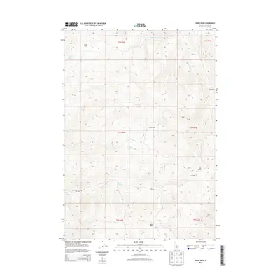
2013 Map of Horse Basin
USGS Topo · Published 2013About this map
Anderson Peak stands as the primary landmark in this high-altitude landscape of central Idaho, overlooking a series of distinct mountain depressions. The geography is characterized by these natural catchments, including Corral Basin, Horse Basin, and Spring Basin, which serve as vital collection points for seasonal runoff and perennial springs. The reliance on water in this arid upland is evident through the naming of specific reliable sources such as Horse Basin Spring Number 1 and Horse Basin Spring Number 2, along with Spar Mountain Spring and Douglas Spring. Drainage patterns flow through several named waterways, including Broken Wagon Cr and Corral Basin Cr. The only named transportation artery through the region is Road Creek Rd, which follows the southern drainage of Road Creek, connecting these isolated basins.
Find a feature on this map
21 named features on this map. Tap any name to fly to it.
Don’t see what you’re looking for? This feature index may not catch every label — zoom into the map to look around manually.
Map Details
Editions of this 2013 Horse Basin Map
This is the sole edition of this map. No revisions or reprints were ever made.
Other maps of this area

1929 · Bayhorse
USGS Topo · 1:125,000

1935 · Borah Peak
USGS Topo · 1:125,000

1938 · Borah Peak
USGS Topo · 1:125,000

1955 · Dubois
USGS Topo · 1:250,000

1956 · Doublespring
USGS Topo · 1:62,500

1957 · Challis
USGS Topo · 1:250,000

1958 · Dubois
USGS Topo · 1:250,000

1960 · Challis
USGS Topo · 1:250,000

1963 · Challis
USGS Topo · 1:250,000

1963 · Lone Pine Peak
USGS Topo · 1:62,500