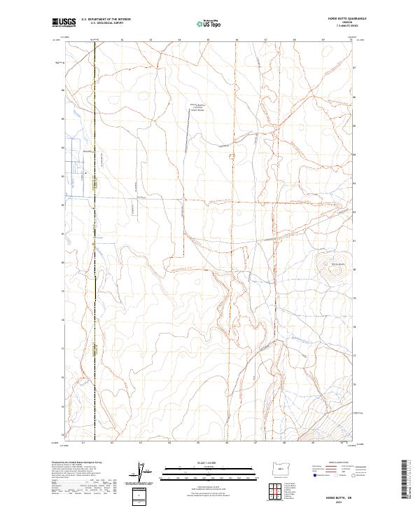
2023 Map of Horse Butte
USGS Topo · Published 2023About this map
The Oregon Badlands Wilderness dominates the southwestern portion of this landscape, where the ancient volcanic terrain of the High Desert meets the agricultural edges of Crook County. This area is defined by a complex network of off-road trails and seasonal waterways, most notably the winding path of the Dry River and the basalt elevations of Horse Butte. The transition from the protected wilderness to the more developed north is marked by Goering Ranches / Crocheta Airport Estates, indicating the intersection of ranching traditions with modern aviation interests.
Find a feature on this map
36 named features on this map. Tap any name to fly to it.
Don’t see what you’re looking for? This feature index may not catch every label — zoom into the map to look around manually.
Map Details
Editions of this 2023 Horse Butte Map
This is the sole edition of this map. No revisions or reprints were ever made.
Other maps of this area

1926 · Bend
USGS Topo · 1:125,000

1929 · Bend
USGS Topo · 1:125,000

1931 · Newberry Crater
USGS Topo · 1:125,000

1935 · Newberry Crater
USGS Topo · 1:125,000

1955 · Crescent
USGS Topo · 1:250,000

1955 · Bend
USGS Topo · 1:250,000

1957 · Crescent
USGS Topo · 1:250,000

1957 · Bend
USGS Topo · 1:250,000

1958 · Crescent
USGS Topo · 1:250,000

1958 · Bend
USGS Topo · 1:250,000