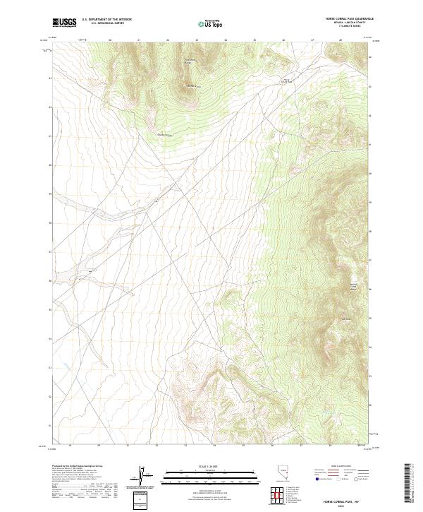
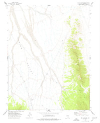
2021 Map of Horse Corral Pass
USGS Topo · Published 2021About this map
Fortification Range and the Wilson Creek Range dominate this high-desert terrain in Lincoln County, where the topography rises toward notable summits such as Mt Patterson and Tub Peak. The landscape is defined by the steep transition at Horse Corral Pass, a natural corridor between these significant mountain formations. Water is a scarce and vital resource in this arid environment, marked by the course of Wilson Cr and the isolated Garrison Seep in the southeastern quadrant. The survey illustrates a region largely shaped by its geological features, with Smiley Canyon providing a distinct drainage path through the rugged northern peaks. This modern record of the area preserves the exact placement of remote water sources and landforms as they exist today, providing an essential reference for understanding the physical geography of Nevada's interior basin and range country.
Find a feature on this map
12 named features on this map. Tap any name to fly to it.
Don’t see what you’re looking for? This feature index may not catch every label — zoom into the map to look around manually.
Map Details
Editions of this 2021 Horse Corral Pass Map
This is the sole edition of this map. No revisions or reprints were ever made.
Other maps of this area

1956 · Lund
USGS Topo · 1:250,000

1960 · Lund
USGS Topo · 1:250,000

1973 · Schoolmarm Basin
USGS Topo · 1:24,000

1973 · Gouge Eye Well
USGS Topo · 1:24,000

1973 · Horse Corral Pass
USGS Topo · 1:24,000

1973 · Atlanta
USGS Topo · 1:24,000
1973 · Mustang Well
USGS Topo · 1:24,000
1973 · Pony Springs
USGS Topo · 1:24,000
1973 · Trail Canyon
USGS Topo · 1:24,000
1973 · Wells Summit
USGS Topo · 1:24,000