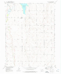
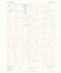
1952 Map of Horse Creek
USGS Topo · Published 1976About this map
Horse Creek Reservoir and the nearby Boot Lake Reservoir anchor this landscape, illustrating the critical role of water management in eastern Adams County during the mid-twentieth century. The intricate network of the Denver Hudson Canal and the Highline Lateral reveals how early irrigation efforts transformed the high plains, supporting the agricultural life of the region.
Find a feature on this map
13 named features on this map. Tap any name to fly to it.
Don’t see what you’re looking for? This feature index may not catch every label — zoom into the map to look around manually.
Map Details
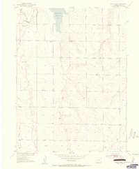
Editions of this 1952 Horse Creek Map
5 editions found
Other maps of this area

1890 · East Denver
USGS Topo · 1:125,000

1902 · Greeley
USGS Topo · 1:125,000

1942 · Mile High Lakes
USGS Topo · 1:31,680

1942 · Box Elder School
USGS Topo · 1:31,680

1949 · Sunnydale
USGS Topo · 1:24,000

1949 · Bennett
USGS Topo · 1:24,000

1949 · Hudson
USGS Topo · 1:24,000

1950 · Keenesburg
USGS Topo · 1:24,000

1950 · Prospect Valley
USGS Topo · 1:24,000

1951 · Keenesburg
USGS Topo · 1:24,000