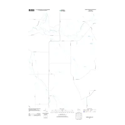
2013 Map of Horse Creek
USGS Topo · Published 2013About this map
The South Fork Eau Claire River and North Fork Eau Claire River converge in this corner of Eau Claire County, defining a landscape shaped by tributary networks and managed forest lands. This 2013 survey documents a predominantly rural expanse where transportation is governed by a grid of county highways and forest roads, including Co Hwy-H and the aptly named Canoe Landing Forest Rd. The eastern portion of the quadrangle is marked by the Iron Run Flowage and Spruce Lake, while smaller drainages like Schoolhouse Cr and Pea Cr carve through the terrain. Evidence of historical crossings remains visible at Koehler Ford, illustrating how early travelers navigated the river systems before the modern bridge network was fully established.
Find a feature on this map
29 named features on this map. Tap any name to fly to it.
Don’t see what you’re looking for? This feature index may not catch every label — zoom into the map to look around manually.
Map Details
Editions of this 2013 Horse Creek Map
This is the sole edition of this map. No revisions or reprints were ever made.
Other maps of this area

1935 · Osseo
USGS Topo · 1:48,000

1940 · Osseo
USGS Topo · 1:62,500

1948 · Fairchild
USGS Topo · 1:62,500

1949 · Fairchild
USGS Topo · 1:62,500

1952 · Cadott
USGS Topo · 1:62,500

1952 · Stanley
USGS Topo · 1:62,500

1953 · Eau Claire
USGS Topo · 1:250,000

1958 · Eau Claire
USGS Topo · 1:250,000

1964 · Eau Claire
USGS Topo · 1:250,000
1968 · Osseo
USGS Topo · 1:62,500