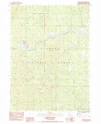
1983 Map of Horse Creek
USGS Topo · Published 1984About this map
The Klamath River carves a deep valley through this portion of the Klamath National Forest, serving as the primary corridor for settlement and industry in the early 1980s. Small outposts like Oak Bar and Horse Creek are positioned along the riverbank, with the Klamath River School providing a central landmark for the dispersed population. The landscape is defined by its mining history, evidenced by Tailings near the river and more remote operations like the Columbia Mine and Golden Age Mine situated higher in the surrounding ridges.
Find a feature on this map
48 named features on this map. Tap any name to fly to it.
Don’t see what you’re looking for? This feature index may not catch every label — zoom into the map to look around manually.
Map Details
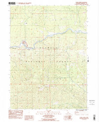
Editions of this 1983 Horse Creek Map
2 editions found
Other maps of this area

1886 · Shasta
USGS Topo · 1:250,000

1894 · Shasta
USGS Topo · 1:250,000

1914 · Seiad
USGS Topo · 1:125,000

1922 · Seiad
USGS Topo · 1:125,000

1932 · Yreka
USGS Topo · 1:96,000

1939 · Yreka
USGS Topo · 1:125,000

1948 · Weed
USGS Topo · 1:250,000

1950 · Weed
USGS Topo · 1:250,000

1955 · Seiad Valley
USGS Topo · 1:62,500

1955 · Condrey Mtn
USGS Topo · 1:62,500