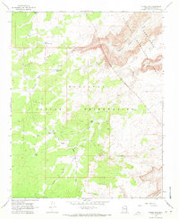
1968 Map of Horse Flat
USGS Topo · Published 1971About this map
The Hualapai Indian Reservation occupies the majority of this high-plateau landscape in Mohave County, where the desert terrain is defined by isolated water sources and sharp geological transitions. In the late 1960s, this area functioned as a remote range land, evidenced by the presence of a Ranger Cabin and numerous tanks and wells like Corral Dry Well and Smith Tank. The northeastern corner of the map reveals the steep descent into the Lake Mead National Recreation Area, where the drainage of Clay Creek and Lost Creek cuts through the canyon walls. Primitive transport is a central theme, with the Buck and Doe Road and Springs Road providing the primary access through the Horse Flat region. This survey captures a moment before modern development, where survival in the arid environment relied on named landmarks like Reference Point and a network of ephemeral water catches.
Find a feature on this map
22 named features on this map. Tap any name to fly to it.
Don’t see what you’re looking for? This feature index may not catch every label — zoom into the map to look around manually.
Map Details
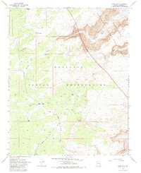
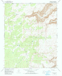
Editions of this 1968 Horse Flat Map
3 editions found
Other maps of this area

1886 · Diamond Creek
USGS Topo · 1:250,000

1892 · Diamond Creek
USGS Topo · 1:250,000

1948 · Williams
USGS Topo · 1:250,000

1954 · Williams
USGS Topo · 1:250,000

1956 · Williams
USGS Topo · 1:250,000

1960 · Williams
USGS Topo · 1:250,000

1961 · Williams
USGS Topo · 1:250,000
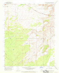
1967 · Milkweed Canyon NW
USGS Topo · 1:24,000
1967 · Devils Slide Rapids
USGS Topo · 1:24,000
1967 · Spencer Canyon
USGS Topo · 1:24,000