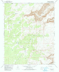
1968 Map of Horse Flat
USGS Topo · Published 1991About this map
The Hualapai Indian Reservation dominates this high-desert landscape in northern Arizona, where the terrain is defined by complex drainage systems and isolated watering points. A Ranger Cabin stands as a lonely sign of human habitation near the center of the sheet, providing a focal point for land management during the late 1960s. The network of livestock infrastructure, including Horse Flat Tank, Small Tank, and Lost Tank, indicates the area's primary use for ranching within the reservation boundaries.
Find a feature on this map
17 named features on this map. Tap any name to fly to it.
Don’t see what you’re looking for? This feature index may not catch every label — zoom into the map to look around manually.
Map Details
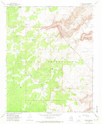
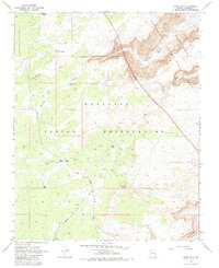
Editions of this 1968 Horse Flat Map
3 editions found
Other maps of this area

1886 · Diamond Creek
USGS Topo · 1:250,000

1892 · Diamond Creek
USGS Topo · 1:250,000

1948 · Williams
USGS Topo · 1:250,000

1954 · Williams
USGS Topo · 1:250,000

1956 · Williams
USGS Topo · 1:250,000

1960 · Williams
USGS Topo · 1:250,000

1961 · Williams
USGS Topo · 1:250,000
1967 · Milkweed Canyon NW
USGS Topo · 1:24,000
1967 · Devils Slide Rapids
USGS Topo · 1:24,000
1967 · Spencer Canyon
USGS Topo · 1:24,000