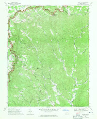
1968 Map of Horse Gap
USGS Topo · Published 1971About this map
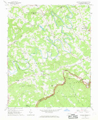
Blue Ridge Parkway meanders across the high northern ridges of this landscape, tracing the border between Wilkes and Ashe counties. This 1968 survey reveals a terrain defined by steep gaps and narrow branches, where small communities like Vannoy and Bowlin sit tucked between the mountains. The map illustrates a rural social fabric built around local congregations and education, notably the Union Township School and numerous country churches such as Antioch Church, Oak Grove Church, and Reddies River Church. The drainage patterns of the Reddies River and its various forks, including the Little Reddies River, dictate the placement of roads and homesteads. Landmarks like Jumpinoff Rock Overlook and Meditation Mountain emphasize the high-elevation character of this Appalachian region, while numerous unmarked cemeteries point to generations of family settlement in the hollers.
Find a feature on this map
57 named features on this map. Tap any name to fly to it.
Don’t see what you’re looking for? This feature index may not catch every label — zoom into the map to look around manually.
Map Details
Editions of this 1968 Horse Gap Map
2 editions found
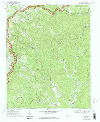
Other maps of this area

1889 · Wilkesboro
USGS Topo · 1:125,000

1891 · Wilkesboro
USGS Topo · 1:125,000

1953 · Winston-Salem
USGS Topo · 1:250,000

1955 · Winston-Salem
USGS Topo · 1:250,000

1962 · Winston-Salem
USGS Topo · 1:250,000
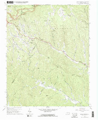
1966 · Maple Springs
USGS Topo · 1:24,000

1966 · Wilkesboro
USGS Topo · 1:24,000
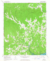
1966 · Purlear
USGS Topo · 1:24,000
1967 · Glendale Springs
USGS Topo · 1:24,000
1968 · Jefferson
USGS Topo · 1:24,000