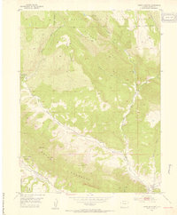
1952 Map of Horse Mountain
USGS Topo · Published 1954About this map
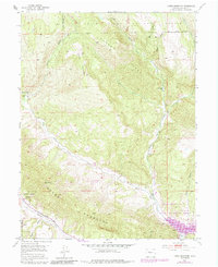
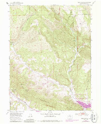
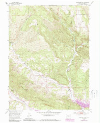
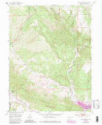
Grand Hogback dominates the lower third of this mid-century survey, cutting a distinctive geological diagonal across a landscape defined by the drainage systems of West Rifle Creek and Middle Rifle Creek. This era in Garfield County highlights a transition between traditional mountain land uses and the emerging industrial importance of the region, specifically noted by the Naval Oil Shale Reserve and several resource extraction sites. Local education and community life are anchored at the Upper Rifle Creek School in the southeastern corner.
Find a feature on this map
21 named features on this map. Tap any name to fly to it.
Don’t see what you’re looking for? This feature index may not catch every label — zoom into the map to look around manually.
Map Details
Editions of this 1952 Horse Mountain Map
9 editions found
Other maps of this area

1906 · Grand Hogback
USGS Topo · 1:125,000

1910 · Grand Hogback
USGS Topo · 1:125,000

1952 · Rio Blanco
USGS Topo · 1:24,000

1952 · Anvil Points
USGS Topo · 1:24,000

1952 · Horse Mountain
USGS Topo · 1:24,000

1952 · Rifle
USGS Topo · 1:24,000

1957 · Leadville
USGS Topo · 1:250,000

1959 · Leadville
USGS Topo · 1:250,000

1960 · Leadville
USGS Topo · 1:250,000

1962 · Leadville
USGS Topo · 1:250,000