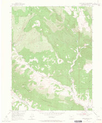
1952 Map of Horse Mountain
USGS Topo · Published 1967About this map
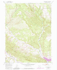
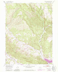
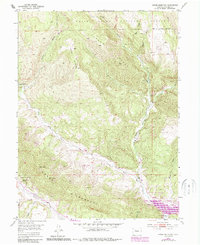
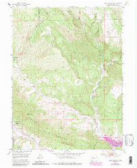
The White River National Forest defines this high-elevation landscape in Garfield County, where the transition from dense forest to industrial energy exploration is clearly visible. The survey captures a mid-century period of resource extraction along the Grand Hogback, featuring several sites marked as Coal Mine and Coal Mines, including a specifically designated Active Coal Mine in the southern reaches. This industrial presence contrasts with the social infrastructure of the time, such as the Upper Rifle Creek School located near the eastern edge of the map. Water management for the arid terrain is evident through features like the Harris Reservoir and Parker Lake. Much of the southwestern quadrant is occupied by the Naval Oil Shale Reserve, reflecting the strategic importance of this region’s geology during the early 1950s. High peaks like Horse Mountain and the prominent Parker Ridge provide the vertical relief for the drainage systems of Middle Rifle Creek and its tributaries.
Find a feature on this map
22 named features on this map. Tap any name to fly to it.
Don’t see what you’re looking for? This feature index may not catch every label — zoom into the map to look around manually.
Map Details
Editions of this 1952 Horse Mountain Map
9 editions found
Other maps of this area

1906 · Grand Hogback
USGS Topo · 1:125,000

1910 · Grand Hogback
USGS Topo · 1:125,000

1952 · Rio Blanco
USGS Topo · 1:24,000

1952 · Anvil Points
USGS Topo · 1:24,000

1952 · Horse Mountain
USGS Topo · 1:24,000

1952 · Rifle
USGS Topo · 1:24,000

1957 · Leadville
USGS Topo · 1:250,000

1959 · Leadville
USGS Topo · 1:250,000

1960 · Leadville
USGS Topo · 1:250,000

1962 · Leadville
USGS Topo · 1:250,000