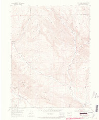
1952 Map of Horse Mountain
USGS Topo · Published 1967About this map
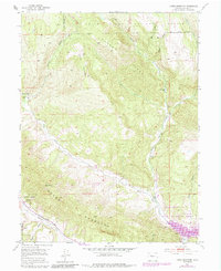
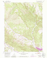
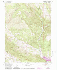
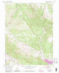
Horse Mountain and the Grand Hogback dominate this 1952 topographic study of Garfield County, where the transition between high mountain forest and the energy-rich shale deposits of the Colorado Plateau is clearly visible. The southern portion of the map is defined by the Naval Oil Shale Reserve, reflecting the era's focus on national fuel security. Along the winding course of Middle Rifle Creek, the map identifies the Upper Rifle Creek School and an Active Coal Mine, evidence of a small-scale rural economy centered on ranching and extraction during the early fifties.
Find a feature on this map
22 named features on this map. Tap any name to fly to it.
Don’t see what you’re looking for? This feature index may not catch every label — zoom into the map to look around manually.
Map Details
Editions of this 1952 Horse Mountain Map
9 editions found
Other maps of this area

1906 · Grand Hogback
USGS Topo · 1:125,000

1910 · Grand Hogback
USGS Topo · 1:125,000

1952 · Rio Blanco
USGS Topo · 1:24,000

1952 · Anvil Points
USGS Topo · 1:24,000

1952 · Horse Mountain
USGS Topo · 1:24,000

1952 · Rifle
USGS Topo · 1:24,000

1957 · Leadville
USGS Topo · 1:250,000

1959 · Leadville
USGS Topo · 1:250,000

1960 · Leadville
USGS Topo · 1:250,000

1962 · Leadville
USGS Topo · 1:250,000