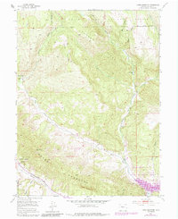
1952 Map of Horse Mountain
USGS Topo · Published 1984About this map
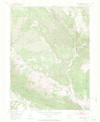
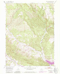
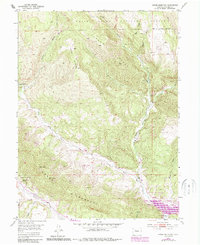
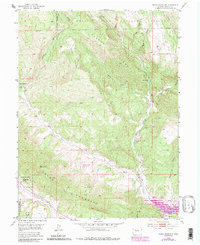
White River National Forest lands dominate this Garfield County landscape, where the dramatic Grand Hogback ridge cuts across the southwestern terrain. The map captures a transition in land use, showing the intersection of conservation and resource extraction through the Naval Oil Shale Reserve and an identified Coal Mine near the southern boundary. Water management is a primary focus, anchored by the Rifle Gap Reservoir and its surrounding Rifle Gap State Recreation Area. Multiple drainage systems including Middle Rifle Creek, West Rifle Creek, and Butler Creek carve through the high country around Horse Mountain and Parker Ridge. Small landmarks like Harris Reservoir and Parker Lake provide specific points of interest for those tracing the history of irrigation and livestock management in this part of the Colorado backcountry.
Find a feature on this map
23 named features on this map. Tap any name to fly to it.
Don’t see what you’re looking for? This feature index may not catch every label — zoom into the map to look around manually.
Map Details
Editions of this 1952 Horse Mountain Map
9 editions found
Other maps of this area

1906 · Grand Hogback
USGS Topo · 1:125,000

1910 · Grand Hogback
USGS Topo · 1:125,000

1952 · Rio Blanco
USGS Topo · 1:24,000

1952 · Anvil Points
USGS Topo · 1:24,000

1952 · Horse Mountain
USGS Topo · 1:24,000

1952 · Rifle
USGS Topo · 1:24,000

1957 · Leadville
USGS Topo · 1:250,000

1959 · Leadville
USGS Topo · 1:250,000

1960 · Leadville
USGS Topo · 1:250,000

1962 · Leadville
USGS Topo · 1:250,000