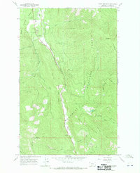
1966 Map of Horse Mountain
USGS Topo · Published 1970About this map
Kootenai National Forest dominates this mid-1960s landscape, where the confluence of Libby Creek and Swamp Creek shapes the valley below Poker Hill. The terrain is defined by a dense network of pack trails, including the Libby Divide Trail (Pack) and Fisher Mtn Trail (Pack), indicating a landscape accessible primarily by foot or horse. Recreation and forest management are central to this area, evidenced by the Paul Bunyan Campground and Libby Creek Campground in the north, while the southern heights are anchored by the Horse Mountain Lookout Tower atop Horse Mountain. Significant drainages like Crazyman Creek and Elliot Creek feed into the primary valley, illustrating the complex watershed of the Lincoln County interior. The presence of the Horse Mountain Trail (Pack) provides a window into historical fire lookout access before the expansion of modern road systems.
Find a feature on this map
29 named features on this map. Tap any name to fly to it.
Don’t see what you’re looking for? This feature index may not catch every label — zoom into the map to look around manually.
Map Details
Editions of this 1966 Horse Mountain Map
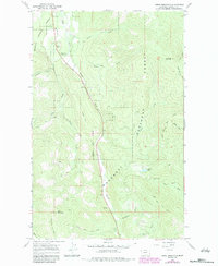
2 editions found
Other maps of this area

1920 · Libby
USGS Topo · 1:125,000

1920 · Jennings
USGS Topo · 1:125,000

1930 · Libby
USGS Topo · 1:125,000

1932 · Libby
USGS Topo · 1:125,000

1935 · Thompson Lakes
USGS Topo · 1:96,000

1942 · Thompson Lakes
USGS Topo · 1:125,000

1957 · Kalispell
USGS Topo · 1:250,000

1960 · Kalispell
USGS Topo · 1:250,000

1961 · Kalispell
USGS Topo · 1:250,000

1963 · Swede Mountain
USGS Topo · 1:24,000