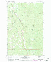
1966 Map of Horse Mountain
USGS Topo · Published 1984About this map
The Kootenai National Forest of northwestern Montana is defined here by a network of pack trails and fire lookout infrastructure during the mid-1960s. The Horse Mountain Lookout Tower stands as a primary landmark at the southern edge of the quadrangle, overlooking the steep drainage basins of Libby Creek and Swamp Creek. This map documents a landscape transitioning toward recreation, noting the Paul Bunyan Campground and Libby Creek Campground near the northern boundary. The terrain is deeply carved by water, with Elliot Creek, Crazyman Creek, and Detgen Creek feeding into the larger valleys. Historical access is recorded through numerous pack routes, including the Fisher Mtn Trail (Pack) and the Libby Divide Trail (Pack), which served as essential corridors for forest management and early backcountry travel before the expansion of modern road systems.
Find a feature on this map
27 named features on this map. Tap any name to fly to it.
Don’t see what you’re looking for? This feature index may not catch every label — zoom into the map to look around manually.
Map Details
Editions of this 1966 Horse Mountain Map
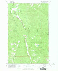
2 editions found
Other maps of this area

1920 · Libby
USGS Topo · 1:125,000

1920 · Jennings
USGS Topo · 1:125,000

1930 · Libby
USGS Topo · 1:125,000

1932 · Libby
USGS Topo · 1:125,000

1935 · Thompson Lakes
USGS Topo · 1:96,000

1942 · Thompson Lakes
USGS Topo · 1:125,000

1957 · Kalispell
USGS Topo · 1:250,000

1960 · Kalispell
USGS Topo · 1:250,000

1961 · Kalispell
USGS Topo · 1:250,000

1963 · Swede Mountain
USGS Topo · 1:24,000