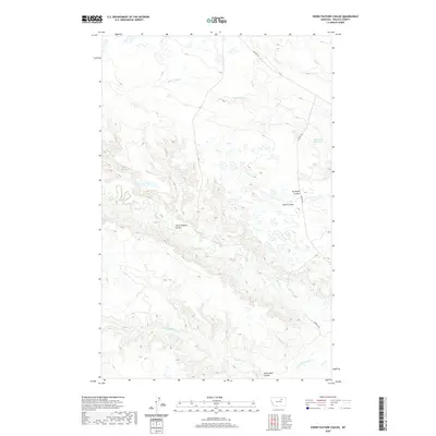
2020 Map of Horse Pasture Coulee
USGS Topo · Published 2020About this map
Horse Pasture Coulee and its neighboring drainages define this stretch of Phillips County, Montana, revealing a landscape etched by seasonal watercourses. The map details a complex network of coulees, including Miller Coulee, Smith Coulee, and Seven Mile Coulee, which serve as the primary topographic markers in this expansive area. Human imprint is sparse, concentrated primarily along Content Rd, which provides the main transit corridor through the northern and eastern sections.
Find a feature on this map
20 named features on this map. Tap any name to fly to it.
Don’t see what you’re looking for? This feature index may not catch every label — zoom into the map to look around manually.
Map Details
Editions of this 2020 Horse Pasture Coulee Map
This is the sole edition of this map. No revisions or reprints were ever made.
Other maps of this area

1954 · Jordan
USGS Topo · 1:250,000

1954 · Glasgow
USGS Topo · 1:250,000

1956 · Jordan
USGS Topo · 1:250,000

1957 · Glasgow
USGS Topo · 1:250,000

1958 · Glasgow
USGS Topo · 1:250,000

1958 · Jordan
USGS Topo · 1:250,000

1964 · Jordan
USGS Topo · 1:250,000

1965 · Whitcomb Lake
USGS Topo · 1:24,000

1965 · Buckley Lake
USGS Topo · 1:24,000

1965 · Sheep Coulee
USGS Topo · 1:24,000