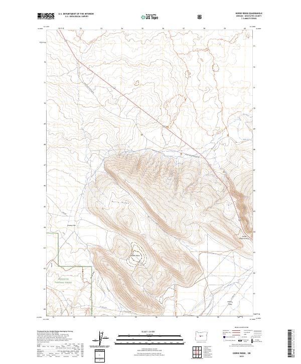
2023 Map of Horse Ridge
USGS Topo · Published 2023About this map
Horse Ridge dominates this central Oregon landscape, rising above the arid expanse of the Millican Valley and Stookey Flat. This 2023 survey delineates the boundary between the northern volcanic terrain of the Oregon Badlands Wilderness and the southern timberlands of the Deschutes National Forest. The map captures a complex network of multi-use trails and forest access routes, including the Ancient Juniper Trl and the historic China Hat Rd, tracing the movement of both recreation and land management in the modern era.
Find a feature on this map
31 named features on this map. Tap any name to fly to it.
Don’t see what you’re looking for? This feature index may not catch every label — zoom into the map to look around manually.
Map Details
Editions of this 2023 Horse Ridge Map
This is the sole edition of this map. No revisions or reprints were ever made.
Other maps of this area

1926 · Bend
USGS Topo · 1:125,000

1929 · Bend
USGS Topo · 1:125,000

1931 · Newberry Crater
USGS Topo · 1:125,000

1935 · Newberry Crater
USGS Topo · 1:125,000

1955 · Crescent
USGS Topo · 1:250,000

1955 · Bend
USGS Topo · 1:250,000

1957 · Crescent
USGS Topo · 1:250,000

1957 · Bend
USGS Topo · 1:250,000

1958 · Crescent
USGS Topo · 1:250,000

1958 · Bend
USGS Topo · 1:250,000