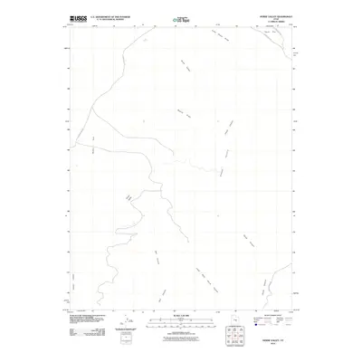
2010 Map of Horse Valley
USGS Topo · Published 2010About this map
Horse Valley and the expansive plateaus of Sinbad Country define this high-desert landscape in Emery County, Utah. The topography is characterized by a series of dramatic canyon systems and high flats, including McKay Flat and Taylor Flat, which have historically provided grazing land and navigation points in this arid region. Major drainages such as Chute Canyon, Bell Canyon, and Little Wild Horse Canyon carve through the sedimentary layers, creating a network of narrow corridors. Human activity in the area is primarily represented by rural routes like Temple Mt Rd and County Rd 1012, which trace the gentler terrain of Bruff Valley and Baptist Draw. This map documents the intricate drainage patterns of Little Ocean Draw and Cistern Canyon, illustrating the geological forces that have shaped this portion of the San Rafael Swell.
Find a feature on this map
14 named features on this map. Tap any name to fly to it.
Don’t see what you’re looking for? This feature index may not catch every label — zoom into the map to look around manually.
Map Details
Editions of this 2010 Horse Valley Map
This is the sole edition of this map. No revisions or reprints were ever made.
Other maps of this area

1885 · San Rafael
USGS Topo · 1:250,000

1952 · Wild Horse
USGS Topo · 1:62,500

1952 · San Rafael Knob
USGS Topo · 1:62,500

1953 · Stinking Spring Creek 2 SE
USGS Topo · 1:24,000

1953 · Temple Mtn
USGS Topo · 1:62,500

1954 · Stinking Springs Creek 4 SW
USGS Topo · 1:24,000

1954 · Stinking Spring Creek 3 NW
USGS Topo · 1:24,000

1954 · Stinking Spring Creek 3 SE
USGS Topo · 1:24,000

1954 · Stinking Spring Creek 4 NW
USGS Topo · 1:24,000

1954 · Stinking Spring Creek 2 SW
USGS Topo · 1:24,000