
1983 Map of Horsehead Peak
USGS Topo · Published 1984About this map
The Ninemile Divide serves as the dominant spine of this high-country landscape, tracing the border between Missoula and Mineral counties. Located within the Lolo National Forest, the terrain is defined by a dense network of drainages flowing from the peaks, including Ninemile Creek, Eustache Creek, and St Louis Creek. Evidence of mountain activity is concentrated around Ninemile and the nearby Sparks location.
Find a feature on this map
33 named features on this map. Tap any name to fly to it.
Don’t see what you’re looking for? This feature index may not catch every label — zoom into the map to look around manually.
Map Details
Editions of this 1983 Horsehead Peak Map
This is the sole edition of this map. No revisions or reprints were ever made.
Other maps of this area

1956 · Wallace
USGS Topo · 1:250,000

1959 · Tarkio
USGS Topo · 1:62,500

1959 · Perma
USGS Topo · 1:62,500

1959 · Plains
USGS Topo · 1:62,500

1960 · Wallace
USGS Topo · 1:250,000

1960 · Superior
USGS Topo · 1:62,500
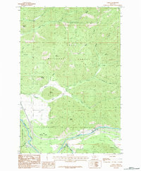
1983 · Tarkio
USGS Topo · 1:24,000
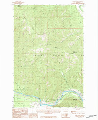
1983 · Stark South
USGS Topo · 1:24,000

1984 · Stark North
USGS Topo · 1:24,000
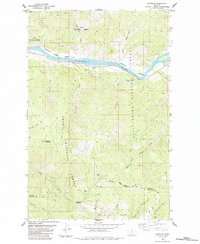
1984 · Knowles
USGS Topo · 1:24,000