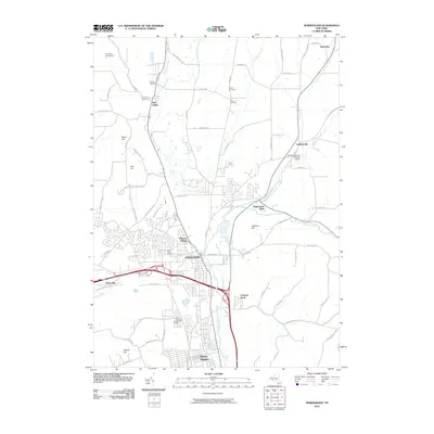
2010 Map of Horseheads
USGS Topo · Published 2010About this map
Horseheads sits at a historic convergence of valleys and waterways, where Newtown Creek meets the northward-flowing Catharine Creek. This landscape is defined by its transition from the dense residential grids of Elmira Heights and Orchard Knoll in the south to the more dispersed valley settlements of Pine Valley and Sullivanville to the north. Aviation history is present through local hubs like the Omni Airpark and Dodge-Coppola-Wheeler Airport, serving the transport needs of the Chemung County corridor.
Find a feature on this map
67 named features on this map. Tap any name to fly to it.
Don’t see what you’re looking for? This feature index may not catch every label — zoom into the map to look around manually.
Map Details
Editions of this 2010 Horseheads Map
This is the sole edition of this map. No revisions or reprints were ever made.
Other maps of this area

1893 · Ithaca
USGS Topo · 1:62,500

1895 · Ithaca
USGS Topo · 1:62,500

1895 · Elmira
USGS Topo · 1:62,500

1898 · Watkins Glen
USGS Topo · 1:62,500

1901 · Watkins
USGS Topo · 1:62,500

1902 · Waverly
USGS Topo · 1:62,500

1905 · Watkins Glen
USGS Topo · 1:125,000

1950 · Elmira
USGS Topo · 1:250,000

1950 · Alpine
USGS Topo · 1:24,000

1950 · Montour Falls
USGS Topo · 1:24,000