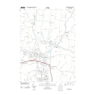
2013 Map of Horseheads
USGS Topo · Published 2013About this map
Horseheads anchors this regional landscape, serving as a central hub between Pine Valley to the north and the northern edge of Elmira Heights to the south. The terrain is defined by a series of prominent elevations, including Beers Hill, Carr Hill, and Bowman Hill, which frame the valleys of Catharine Creek and Newtown Creek. This survey captures the suburban and rural balance of Chemung County, where residential pockets like Pioneer Village and Orchard Knoll sit alongside specialized infrastructure such as Omni Airpark and Dodge (Coppola) Wheeler Airport.
Find a feature on this map
232 named features on this map. Tap any name to fly to it.
Don’t see what you’re looking for? This feature index may not catch every label — zoom into the map to look around manually.
Map Details
Editions of this 2013 Horseheads Map
This is the sole edition of this map. No revisions or reprints were ever made.
Other maps of this area

1893 · Ithaca
USGS Topo · 1:62,500

1895 · Ithaca
USGS Topo · 1:62,500

1895 · Elmira
USGS Topo · 1:62,500

1898 · Watkins Glen
USGS Topo · 1:62,500

1901 · Watkins
USGS Topo · 1:62,500

1902 · Waverly
USGS Topo · 1:62,500

1905 · Watkins Glen
USGS Topo · 1:125,000

1950 · Elmira
USGS Topo · 1:250,000

1950 · Alpine
USGS Topo · 1:24,000

1950 · Montour Falls
USGS Topo · 1:24,000