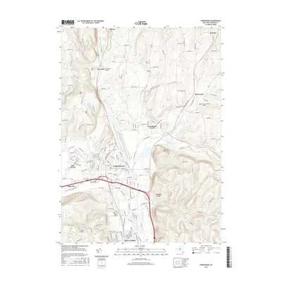
2016 Map of Horseheads
USGS Topo · Published 2016About this map
Horseheads sits at the center of this 2016 Chemung County landscape, where the southern tier’s valley corridors funnel modern infrastructure along ancient drainage routes. The topography is defined by significant elevations like Beers Hill and Bowman Hill, which separate the broader residential developments of Elmira Heights and Big Flats from the northern rural uplands. Genealogists will find several burial grounds documented, including Maple Grove Cem, Saint Marys Cem, and the more remote Turner Cem and Vary Cem to the north. The drainage patterns of Catharine Cr and Newtown Creek illustrate the natural divide between waters flowing toward the Finger Lakes and those reaching the Chemung River system. This contemporary survey traces the evolution of these valley settlements as they expand toward Sullivanville and Pine Valley, showing how modern bypasses and local roads like Watkins Rd have reshaped the historical transit paths through the region.
Find a feature on this map
168 named features on this map. Tap any name to fly to it.
Don’t see what you’re looking for? This feature index may not catch every label — zoom into the map to look around manually.
Map Details
Editions of this 2016 Horseheads Map
This is the sole edition of this map. No revisions or reprints were ever made.
Other maps of this area

1893 · Ithaca
USGS Topo · 1:62,500

1895 · Ithaca
USGS Topo · 1:62,500

1895 · Elmira
USGS Topo · 1:62,500

1898 · Watkins Glen
USGS Topo · 1:62,500

1901 · Watkins
USGS Topo · 1:62,500

1902 · Waverly
USGS Topo · 1:62,500

1905 · Watkins Glen
USGS Topo · 1:125,000

1950 · Elmira
USGS Topo · 1:250,000

1950 · Alpine
USGS Topo · 1:24,000

1950 · Montour Falls
USGS Topo · 1:24,000