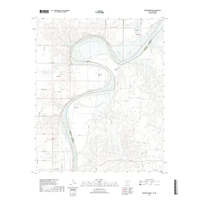
2019 Map of Horseshoe Bend
USGS Topo · Published 2019About this map
The Red River defines the winding border between Love County, Oklahoma and Cooke County, Texas in this modern survey. The landscape is characterized by dramatic fluvial geography where the river creates deep, alluvial loops. The most prominent is the eponymous Horseshoe Bend, followed by the sweeping curves of Addington Bend and Walnut Bend. These fertile riverside areas supported early ranching and farming communities, evidenced by the presence of Decherds Cem and Black Cem overlooking the river valley.
Find a feature on this map
50 named features on this map. Tap any name to fly to it.
Don’t see what you’re looking for? This feature index may not catch every label — zoom into the map to look around manually.
Map Details
Editions of this 2019 Horseshoe Bend Map
This is the sole edition of this map. No revisions or reprints were ever made.
Other maps of this area

1901 · Denison
USGS Topo · 1:125,000

1902 · Gainesville
USGS Topo · 1:125,000

1943 · Gainesville
USGS Topo · 1:125,000

1954 · Sherman
USGS Topo · 1:250,000

1958 · Gordonville
USGS Topo · 1:62,500

1958 · Whitesboro
USGS Topo · 1:62,500

1958 · Sherman
USGS Topo · 1:250,000

1960 · Callisburg
USGS Topo · 1:24,000

1960 · Gainesville North
USGS Topo · 1:24,000
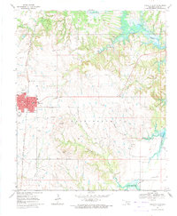
1967 · Marietta East
USGS Topo · 1:24,000