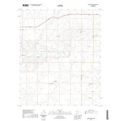
2020 Map of Horseshoe Bend
USGS Topo · Published 2020About this map
The Rio Hondo carves its way through this portion of Chaves and Lincoln counties, creating the distinctive Horseshoe Bend as it flows eastward. This landscape is defined by its drainage systems and water management features, critical for ranching in the high desert. Man-made reservoirs like Rock-House Tank and Serapio Nuñez Tank provide essential water points amidst a complex network of dry washes and canyons, including Bonney Canyon and Border Canyon.
Find a feature on this map
23 named features on this map. Tap any name to fly to it.
Don’t see what you’re looking for? This feature index may not catch every label — zoom into the map to look around manually.
Map Details
Editions of this 2020 Horseshoe Bend Map
This is the sole edition of this map. No revisions or reprints were ever made.
Other maps of this area

1955 · Roswell
USGS Topo · 1:250,000

1956 · Diamond A Ranch
USGS Topo · 1:24,000

1958 · Roswell
USGS Topo · 1:250,000

1959 · Diamond A Ranch
USGS Topo · 1:24,000

1961 · Flying H
USGS Topo · 1:62,500

1961 · Indian Bluff
USGS Topo · 1:62,500

1961 · Tinnie
USGS Topo · 1:62,500

1962 · Roswell
USGS Topo · 1:250,000

1962 · Horseshoe Bend
USGS Topo · 1:62,500

1979 · Roswell
USGS Topo · 1:100,000