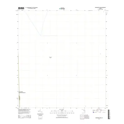
2015 Map of Horseshoe Head
USGS Topo · Published 2015About this map
Big Cypress National Preserve dominates the southwestern corner of this landscape, marking a protected expanse where the Florida Everglades meet the interior cypress swamps. The terrain is notably sparse, defined by the isolated island of Horseshoe Head, a topographic rise in a largely uniform environment. This 2015 survey reflects a remote section of South Florida where the boundary between Broward County and Collier County is the primary human demarcation. The map illustrates a region largely untouched by the dense residential and commercial expansion seen further east, preserving a specific pocket of subtropical wilderness. For researchers and conservationists, this sheet provides the exact location of named heads and administrative boundaries in an area where few other landmarks exist to guide the way.
Find a feature on this map
3 named features on this map. Tap any name to fly to it.
Don’t see what you’re looking for? This feature index may not catch every label — zoom into the map to look around manually.
Map Details
Editions of this 2015 Horseshoe Head Map
This is the sole edition of this map. No revisions or reprints were ever made.
Other maps of this area

1956 · Miami
USGS Topo · 1:250,000

1956 · West Palm Beach
USGS Topo · 1:250,000

1957 · West Palm Beach
USGS Topo · 1:250,000

1958 · West Palm Beach
USGS Topo · 1:250,000

1958 · Miami
USGS Topo · 1:250,000

1973 · Custard Apple Hammock
USGS Topo · 1:24,000

1973 · Everglades 4 NW
USGS Topo · 1:24,000

1973 · North Of Fiftymile Bend
USGS Topo · 1:24,000
1973 · Everglades 4 SW
USGS Topo · 1:24,000

1973 · Everglades 3 NE
USGS Topo · 1:24,000