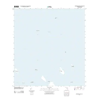
2012 Map of Horseshoe Keys
USGS Topo · Published 2012About this map
Horseshoe Keys and the surrounding shallow-water features of Monroe County are documented here as they appeared in 2012. This coastal landscape is defined by its complex maritime geography, where isolated landmasses like Johnson Keys and Little Spanish Key emerge from the Gulf of Mexico. The absence of roads or permanent structures reflects a terrain dominated by tidal flats and mangroves, most notably the Little Pine Key Mangrove near the southern edge of the quadrangle.
Find a feature on this map
14 named features on this map. Tap any name to fly to it.
Don’t see what you’re looking for? This feature index may not catch every label — zoom into the map to look around manually.
Map Details
Editions of this 2012 Horseshoe Keys Map
This is the sole edition of this map. No revisions or reprints were ever made.
Other maps of this area

1972 · Big Pine Key
USGS Topo · 1:24,000

1972 · East Bahia Honda Key
USGS Topo · 1:24,000

1972 · Horseshoe Keys
USGS Topo · 1:24,000

1972 · Content Keys
USGS Topo · 1:24,000

1972 · Sevenmile Bridge
USGS Topo · 1:24,000

1972 · Summerland Key
USGS Topo · 1:24,000

1983 · Key West
USGS Topo · 1:100,000

1989 · Key West
USGS Topo · 1:250,000
2012 · East Bahia Honda Key
USGS Topo · 1:24,000
2012 · Content Keys
USGS Topo · 1:24,000