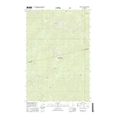
2017 Map of Horseshoe Lake
USGS Topo · Published 2017About this map
Clearwater National Forest defines the high-elevation landscape of this 2017 survey, spanning the boundary between Clearwater and Idaho Counties. The area is a network of deep drainage basins and prominent ridgelines, punctuated by landmarks such as Lunde Peak, Moccasin Peak, and the distinctive Devils Chair. The presence of the historic Lolo Trl through the southern portion of the map provides a connection to the centuries-old travel corridor through the Bitterroot Mountains.
Find a feature on this map
30 named features on this map. Tap any name to fly to it.
Don’t see what you’re looking for? This feature index may not catch every label — zoom into the map to look around manually.
Map Details
Editions of this 2017 Horseshoe Lake Map
This is the sole edition of this map. No revisions or reprints were ever made.
Other maps of this area

1911 · Lolo
USGS Topo · 1:250,000

1913 · Lolo
USGS Topo · 1:250,000

1956 · Hamilton
USGS Topo · 1:250,000

1959 · Hamilton
USGS Topo · 1:250,000

1960 · Hamilton
USGS Topo · 1:250,000

1964 · Hamilton
USGS Topo · 1:250,000

1965 · Scurvy Mtn.
USGS Topo · 1:24,000

1965 · Gorman Hill
USGS Topo · 1:24,000

1965 · Lookout Peak
USGS Topo · 1:24,000

1965 · Horseshoe Lake
USGS Topo · 1:24,000