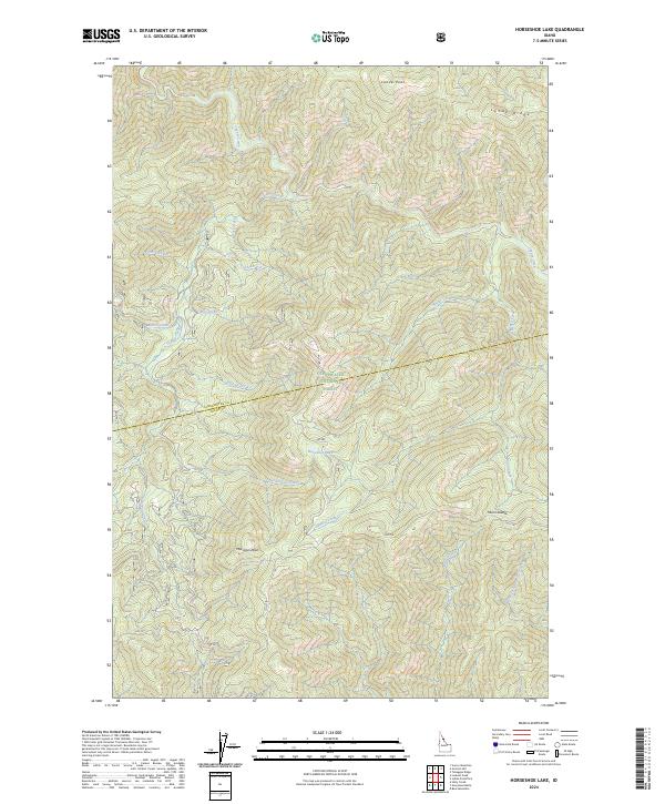
2024 Map of Horseshoe Lake
USGS Topo · Published 2024About this map
Clearwater National Forest dominates this landscape along the boundary of Clearwater and Idaho counties. The high-elevation terrain is defined by prominent summits such as Lunde Peak and Moccasin Peak, with drainage networks feeding into substantial water bodies like Cayuse Creek and the map's namesake, Horseshoe Lake. A significant cultural and historical corridor, the Lolo Trl, traverses the southern portion of the map, tracing a route through the mountains that predates modern infrastructure. The presence of the Lolo Trl and named landmarks like Moon Saddle and Lunde Ridge reflects the long-standing use of these ridges for travel and observation. Remote forestry roads, including Gravey Creek Rd and RD 588, provide limited access to the interior, while numerous creeks like West Fork Postoffice Creek and Blowup Creek carve the steep slopes of this protected wilderness.
Find a feature on this map
38 named features on this map. Tap any name to fly to it.
Don’t see what you’re looking for? This feature index may not catch every label — zoom into the map to look around manually.
Map Details
Editions of this 2024 Horseshoe Lake Map
This is the sole edition of this map. No revisions or reprints were ever made.
Other maps of this area

1911 · Lolo
USGS Topo · 1:250,000

1913 · Lolo
USGS Topo · 1:250,000

1956 · Hamilton
USGS Topo · 1:250,000

1959 · Hamilton
USGS Topo · 1:250,000

1960 · Hamilton
USGS Topo · 1:250,000

1964 · Hamilton
USGS Topo · 1:250,000

1965 · Scurvy Mtn.
USGS Topo · 1:24,000

1965 · Gorman Hill
USGS Topo · 1:24,000

1965 · Lookout Peak
USGS Topo · 1:24,000

1965 · Horseshoe Lake
USGS Topo · 1:24,000