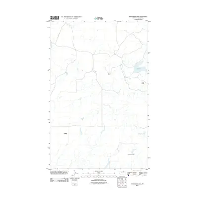
2011 Map of Horseshoe Lake
USGS Topo · Published 2011About this map
Sumner anchors this portion of Phillips County, where the high plains landscape is defined by the drainage patterns of intermittent coulees. The map illustrates a rural environment shaped by water management and natural hydrology, notably at Lang Corners Dam in the southern reaches and the namesake Horseshoe Lake to the east. These features, along with Cowie Coulee and Gloyn Coulee, reveal the essential role of water catchment in this arid region. The road network is sparse, with Sunny Slope Rd being one of the few named arteries connecting the isolated settlement of Sumner to the surrounding terrain. This survey provides a clear look at the late-20th and early-21st-century land use in Northern Montana, focusing on the subtle topographical variations and the small-scale infrastructure like Little Cottonwood Creek that supports the local ranching or agricultural economy.
Find a feature on this map
7 named features on this map. Tap any name to fly to it.
Don’t see what you’re looking for? This feature index may not catch every label — zoom into the map to look around manually.
Map Details
Editions of this 2011 Horseshoe Lake Map
This is the sole edition of this map. No revisions or reprints were ever made.
Other maps of this area

1920 · Avery
USGS Topo · 1:125,000

1920 · Cowan
USGS Topo · 1:125,000

1953 · Havre
USGS Topo · 1:250,000

1954 · Glasgow
USGS Topo · 1:250,000

1957 · Glasgow
USGS Topo · 1:250,000

1957 · Havre
USGS Topo · 1:250,000

1958 · Glasgow
USGS Topo · 1:250,000

1958 · Havre
USGS Topo · 1:250,000

1984 · Chapman
USGS Topo · 1:24,000

1984 · Emerick Bench
USGS Topo · 1:24,000