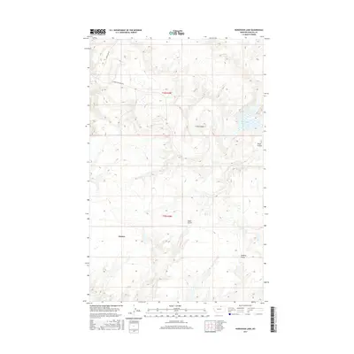
2017 Map of Horseshoe Lake
USGS Topo · Published 2017About this map
Sumner anchors this high-plains landscape in northern Phillips County, where the terrain is defined by a network of seasonal drainages and local roadways. The map reveals a land sculpted by water, with Cowie Coulee, Gloyn Coulee, Alkali Coulee, and Lambing Coulee carving out the topography between wide sections of prairie. This 2017 survey reflects the remote character of the region, emphasizing how travel follows the contours of the land via routes like Sunnyslope Rd and Turner Cutacross Rd. A central landmark in this otherwise arid environment is Horseshoe Lake, providing a distinctive water feature in an area dominated by coulees. The map is organized by the Public Land Survey System grids for t36n r28e and t35n r28e, illustrating the foundational property lines that still govern this section of the Montana plains.
Find a feature on this map
10 named features on this map. Tap any name to fly to it.
Don’t see what you’re looking for? This feature index may not catch every label — zoom into the map to look around manually.
Map Details
Editions of this 2017 Horseshoe Lake Map
This is the sole edition of this map. No revisions or reprints were ever made.
Other maps of this area

1920 · Avery
USGS Topo · 1:125,000

1920 · Cowan
USGS Topo · 1:125,000

1953 · Havre
USGS Topo · 1:250,000

1954 · Glasgow
USGS Topo · 1:250,000

1957 · Glasgow
USGS Topo · 1:250,000

1957 · Havre
USGS Topo · 1:250,000

1958 · Glasgow
USGS Topo · 1:250,000

1958 · Havre
USGS Topo · 1:250,000

1984 · Chapman
USGS Topo · 1:24,000

1984 · Emerick Bench
USGS Topo · 1:24,000