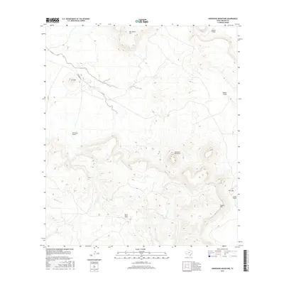
2016 Map of Horseshoe Mountains
USGS Topo · Published 2016About this map
Rawls Ranch Airport sits within a wide valley in this remote stretch of West Texas, serving as a rare point of modern infrastructure amidst a landscape defined by significant elevation changes. To the north, the peak of San Jacinto Mtn and the landform known as La Viuda overlook a series of deep drainage systems, including Fishtail Canyon and Old Ranch Canyon. The center of the map is dominated by the Horseshoe Mountains, which give way to the expansive Tascotal Mesa in the southeast. Transportation through this high-desert environment is limited to Hwy 169 and the unpaved Casa Piedra Rd, which snakes through the terrain near the seasonal waters of Holguin Cr. The map illustrates the classic Trans-Pecos topography of mesas, gaps like Wire Gap, and steep-walled canyons that have dictated ranching and travel patterns for generations.
Find a feature on this map
13 named features on this map. Tap any name to fly to it.
Don’t see what you’re looking for? This feature index may not catch every label — zoom into the map to look around manually.
Map Details
Editions of this 2016 Horseshoe Mountains Map
This is the sole edition of this map. No revisions or reprints were ever made.
Other maps of this area

1896 · Shafter
USGS Topo · 1:125,000

1917 · Tascotal Mesa
USGS Topo · 1:62,500

1918 · Jordan Gap
USGS Topo · 1:62,500

1930 · Jordan Gap
USGS Topo · 1:62,500

1944 · Tascotal Mesa
USGS Topo · 1:62,500

1959 · Emory Peak
USGS Topo · 1:250,000

1959 · Presidio
USGS Topo · 1:250,000

1965 · Presidio
USGS Topo · 1:250,000

1965 · Emory Peak
USGS Topo · 1:250,000

1983 · Plata
USGS Topo · 1:24,000