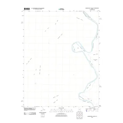
2011 Map of Horsethief Canyon
USGS Topo · Published 2011About this map
The Green River carves a winding path through the high desert of San Juan County, defining a landscape of deeply incised canyons and broad alluvial bottoms. This 2011 survey illustrates the dramatic shift from the tight meanders of Labyrinth Canyon into the beginnings of Stillwater Canyon, tracing the river's course as it passes through the western edge of Canyonlands National Park. Evidence of early human presence is marked at Fort Ruin near the bend of Fort Bottom, a location strategically placed within the river's loops.
Find a feature on this map
22 named features on this map. Tap any name to fly to it.
Don’t see what you’re looking for? This feature index may not catch every label — zoom into the map to look around manually.
Map Details
Editions of this 2011 Horsethief Canyon Map
This is the sole edition of this map. No revisions or reprints were ever made.
Other maps of this area

1885 · San Rafael
USGS Topo · 1:250,000

1885 · La Sal
USGS Topo · 1:250,000

1951 · The Knoll
USGS Topo · 1:62,500

1951 · Upheaval Dome
USGS Topo · 1:62,500

1952 · Tidwell 4 SE
USGS Topo · 1:24,000

1952 · Carlisle 2 NW
USGS Topo · 1:24,000

1952 · Carlisle 2 SW
USGS Topo · 1:24,000

1952 · Moab 3 SW
USGS Topo · 1:24,000

1953 · Orange Cliffs 1 SE
USGS Topo · 1:24,000

1953 · Orange Cliffs 1 NE
USGS Topo · 1:24,000