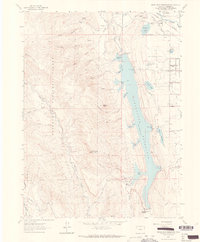
1962 Map of Horsetooth Reservoir
USGS Topo · Published 1964About this map
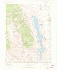
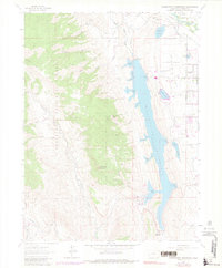
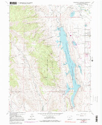
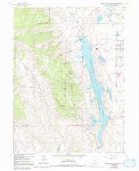
Horsetooth Reservoir dominates the eastern foothills of the Roosevelt National Forest, showing a landscape of significant water management and early transportation history. In the northeast, the settlement of Laporte serves as a historic focal point, marked by the Overland Stage Station and the Laporte Cem. The irrigation infrastructure of the early 1960s is meticulously detailed, including the Larimer and Weld Canal, Mercer Canal No 2, and several smaller impoundments like Claymore Lake and College Lake. West of the reservoir, the terrain rises sharply toward Horsetooth Mountain and Sombrero Point, cut by numerous drainage features such as Soldier Canyon and Mill Creek Canyon. Aviation and conservation landmarks are also present, including Christman Field, the Municipal Airport, and the State Fish Hatchery located near the Cache La Poudre River.
Find a feature on this map
59 named features on this map. Tap any name to fly to it.
Don’t see what you’re looking for? This feature index may not catch every label — zoom into the map to look around manually.
Map Details
Editions of this 1962 Horsetooth Reservoir Map
8 editions found
Other maps of this area

1905 · Mount Olympus
USGS Topo · 1:62,500

1906 · Loveland
USGS Topo · 1:62,500

1906 · Fort Collins
USGS Topo · 1:62,500

1907 · Mount Olympus
USGS Topo · 1:62,500

1907 · Livermore
USGS Topo · 1:125,000

1908 · Loveland
USGS Topo · 1:62,500

1908 · Fort Collins
USGS Topo · 1:62,500

1909 · Livermore
USGS Topo · 1:125,000

1954 · Greeley
USGS Topo · 1:250,000

1957 · Greeley
USGS Topo · 1:250,000