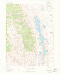
1962 Map of Horsetooth Reservoir
USGS Topo · Published 1973About this map
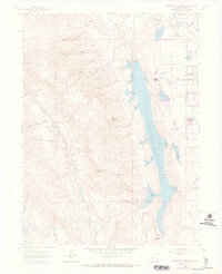
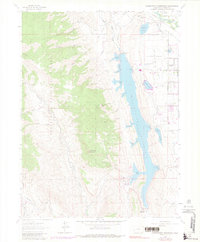
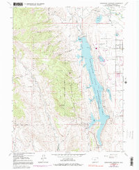
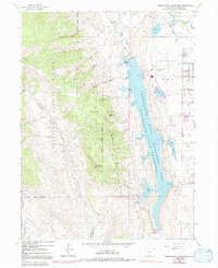
Horsetooth Reservoir anchors this landscape, its waters contained by engineering works like the Dixon Canyon Dam and Spring Canyon Dam. Along its eastern shores, the terrain transitions from the open acreage of Christman Landing Field to the emerging residential clusters of Mountain View and Horsetooth Heights. Near the northern bend of the reservoir, the community of Laporte sits near the Cache La Poudre River, where the Colorado and Southern railroad and the Laporte Cem mark the long-standing settlement history of the area.
Find a feature on this map
55 named features on this map. Tap any name to fly to it.
Don’t see what you’re looking for? This feature index may not catch every label — zoom into the map to look around manually.
Map Details
Editions of this 1962 Horsetooth Reservoir Map
8 editions found
Other maps of this area

1905 · Mount Olympus
USGS Topo · 1:62,500

1906 · Loveland
USGS Topo · 1:62,500

1906 · Fort Collins
USGS Topo · 1:62,500

1907 · Mount Olympus
USGS Topo · 1:62,500

1907 · Livermore
USGS Topo · 1:125,000

1908 · Loveland
USGS Topo · 1:62,500

1908 · Fort Collins
USGS Topo · 1:62,500

1909 · Livermore
USGS Topo · 1:125,000

1954 · Greeley
USGS Topo · 1:250,000

1957 · Greeley
USGS Topo · 1:250,000