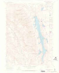
1962 Map of Horsetooth Reservoir
USGS Topo · Published 1973About this map
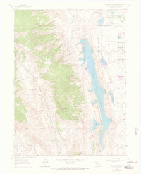
Horsetooth Reservoir dominates this landscape, defined by its intricate shoreline featuring Santanka Cove, Inlet Bay, and Dixon Cove. The reservoir is bounded by significant engineering works including the Dixon Canyon Dam and Spring Canyon Dam. To the east, the map captures a period of transition as the plains meet the foothills, evidenced by the presence of the Christman Landing Field, Hughes Stadium, and even a Drive-in Theater near the edge of the developing area.
Find a feature on this map
63 named features on this map. Tap any name to fly to it.
Don’t see what you’re looking for? This feature index may not catch every label — zoom into the map to look around manually.
Map Details
Editions of this 1962 Horsetooth Reservoir Map
8 editions found
Other maps of this area

1905 · Mount Olympus
USGS Topo · 1:62,500

1906 · Loveland
USGS Topo · 1:62,500

1906 · Fort Collins
USGS Topo · 1:62,500

1907 · Mount Olympus
USGS Topo · 1:62,500

1907 · Livermore
USGS Topo · 1:125,000

1908 · Loveland
USGS Topo · 1:62,500

1908 · Fort Collins
USGS Topo · 1:62,500

1909 · Livermore
USGS Topo · 1:125,000

1954 · Greeley
USGS Topo · 1:250,000

1957 · Greeley
USGS Topo · 1:250,000