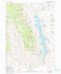
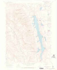
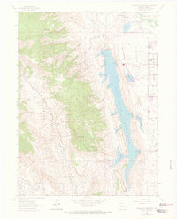
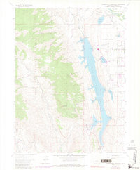
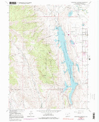
1962 Map of Horsetooth Reservoir
USGS Topo · Published 1992About this map
Horsetooth State Recreation Area dominates this landscape, reflecting the post-war development of Colorado's water infrastructure and recreational lands. The map illustrates the complex system of dams and canals, including the Soldier Canyon Dam and Dixon Canyon Dam, which transformed the dry valleys into a major reservoir system. Near the Cache La Poudre River in the northeast, the settlement of Laporte and the Laporte Cem provide a genealogical anchor for the area, while the Caches La Poudre Monument marks the local history of the region.
Find a feature on this map
68 named features on this map. Tap any name to fly to it.
Don’t see what you’re looking for? This feature index may not catch every label — zoom into the map to look around manually.
Map Details
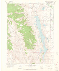
Editions of this 1962 Horsetooth Reservoir Map
8 editions found
Other maps of this area

1905 · Mount Olympus
USGS Topo · 1:62,500

1906 · Loveland
USGS Topo · 1:62,500

1906 · Fort Collins
USGS Topo · 1:62,500

1907 · Mount Olympus
USGS Topo · 1:62,500

1907 · Livermore
USGS Topo · 1:125,000

1908 · Loveland
USGS Topo · 1:62,500

1908 · Fort Collins
USGS Topo · 1:62,500

1909 · Livermore
USGS Topo · 1:125,000

1954 · Greeley
USGS Topo · 1:250,000

1957 · Greeley
USGS Topo · 1:250,000